Geological, pedologic, and geomorphologic conditions constitute essential prerequisites for the development of vegetation and the regime of ground and surface water.
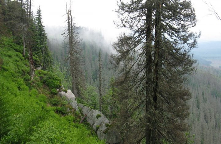
The bulk of the territory belongs to the geomorphological unit Šumava and partially to the Šumava Foothills (Šumavské podhůří), being part of the Šumava uplands (Šumavská hornatina).
Šumava is among the oldest mountain ranges of Central Europe. Rising from an altitude of around 700 m a.s.l., its highest peaks on the Bavarian side are in excess of 1400 m a.s.l.
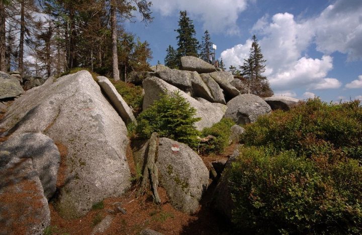
In the quaternary period, glaciers created morphologically significant cirques, most of them now filled with water. Certain other prominent land forms, such as frost cliffs, cliff faces, and slope boulder debris, come from the same period.
- The highest peak on the Czech side is Plechý (1378 m a.s.l.).
- At the core of the range are the Šumava Plains, a vast plateau at an altitude of around 1000 m a.s.l.
- The Železná Ruda Uplands jet out to the northwest, while the frontier ridge of the Trojmezí Uplands and the inland ridge of the Boubín Uplands and the Želnava Uplands project to the southeast, divided by the wide Vltava Trench.
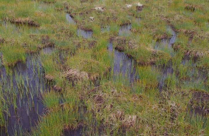
- Quite specific formations are the vast, slightly domed upland and valley raised bogs.


