Itinerary
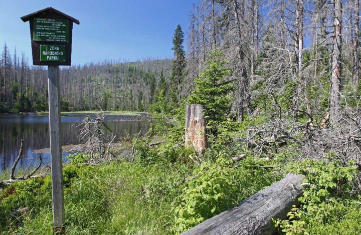
From Železná Ruda you head for the peak of Debrník (marked in green). The manor of the Hafenbrädls, a glass-making family, once stood here, but now there is only a meadow. From now on, the route steadily rises to the peak of Polom (marked in red). Its Czech name translates as windbreak and it really worked in 2007 when the place was hit by Hurricane Kyrill. It is only now that the area is turning green again after the destruction of that storm.
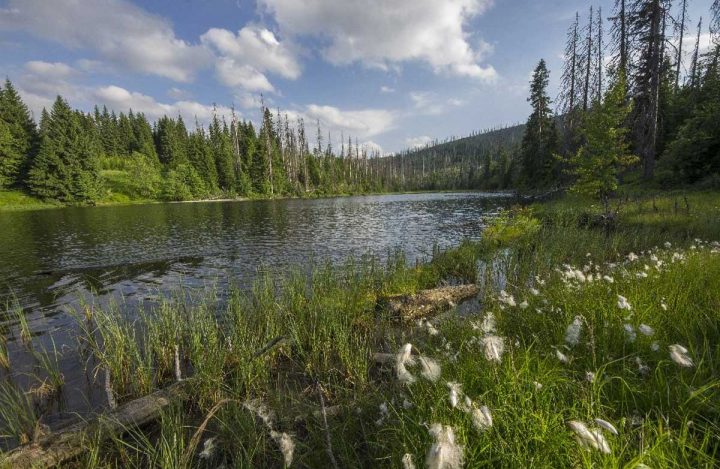
A few steps forward and you already turn to the lake. The smallest (2.5 hectares) and the shallowest (3.9 m) of the glacial lakes in Šumava, it also features the highest elevation of all (1,090 m). On the way back, you descend via Hůrka, an abandoned glass-making settlement, to board a bus in Nová Hůrka and go back to Železná Ruda.
Trip map
Elektrokola a elektrokoloběžky v NPŠ
S jakými mohu na cyklostezky a účelové komunikace Národního parku Šumava?


