Výstrahy a uzavírky
Zde najdete aktuální přehled platných uzavírek
Více informací
Krátkodobé uzavření naučné stezky Povydří v úseku Antýgl - Čeňkova Pila
Více informací

Trip to see the springs of the River Vltava

O vaší cestě

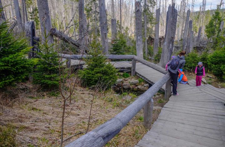
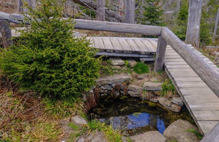
The Czech ‘national river’, the stream rises on the slopes of the mountain of Černá hora at an elevation of 1,190 metres. Initially, it is called Černý potok; it becomes Teplá Vltava from the village of Borová Lada onwards; from its confluence with Studená Vltava as far as the town of Mělník, it is just Vltava – no nicknames.
Délka 16 km
Náročnost střední
Doba 4h:30
Převýšení 268 m

Itinerary

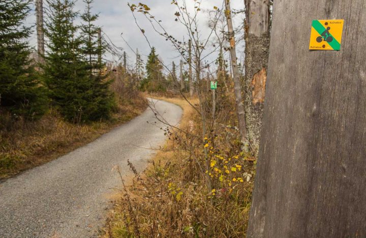
The ground relief is generally moderate on the way to the spring, but you have to climb to reach Bučina where you can see as far as the Alps.

Nothing is left of the former village, but there are still things to explore: the restored chapel, the successful replica of the Iron Curtain next to the Alpská vyhlídka Hotel, and a comprehensive presentation of the region in the visitor centre of Šumava National Park and the neighbouring national park of the Bavarian Forest.

Going back to Kvilda is again along an asphalt road – 7 km.
Trip map

Aplikace Záchranka - může vám
zachránit život

Přivolejte Zdravotnickou záchrannou službu a Horskou službu stiskem jednoho tlačítka. Odešlete svou polohu a další důležité informace.

Skip to content